A special weather statement was issued by Environment Canada at 3:23 a.m. last Tuesday advising of a “cold and blustery week ahead”.
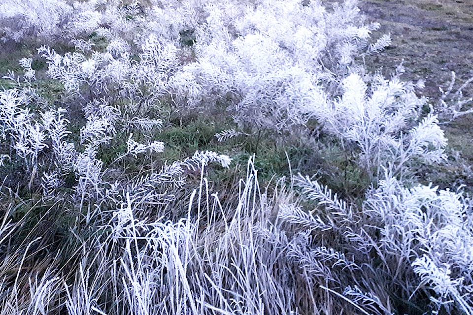
A transition to colder conditions began early Tuesday across northern and central B.C., with the forecast advising cold air will persist through the end of the week with temperatures in the -15°C to -25°C range. Many valley residents pulled out their cold weather gear, stocked up the wood stove, and those caring for livestock began tending to frozen water troughs and bringing animals inside as required.
Blustery northerly winds accompanied the arrival of the Arctic Front with wind chills becoming a factor on Tuesday and Wednesday. However, the forecast stated the Arctic air over the Interior will deepen and temperatures will continue to drop Thursday and Friday.
“People working and spending time outside are reminded to dress warmly and in layers, preferably with a wind-resistant outer layer,” advised Environment Canada. “Travelers are encouraged to add winter emergency kits to their vehicles which include a blanket, extra clothes and boots.”
Watch for wind chill or extremely cold temperatures. Wind chill can create dangerously cold conditions, but extremely cold temperatures can still be hazardous with little or no wind.
For more cold weather preparedness tips, visit: https://www.canada.ca/en/environment-climate-change/services/seasonal-weather-hazards/be-prepared-for-winter.html#toc5
Alerts and Forecasts can be found at Environment Canada: https://weather.gc.ca/forecast/canada/index_e.html?id=BC