The first big winter storm of the season will be coming in with a bang in the Cariboo region.
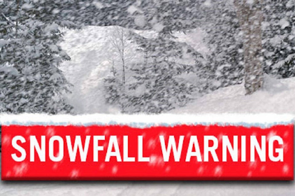
A snowfall warning is in effect for the Cariboo Thursday, Nov. 3 with 15 to 20 cm (30 cm near the Cariboo Mountains) of the white stuff falling beginning at noon Thursday and easing off Friday morning.
“An atmospheric river will bring heavy snow to most of the B.C. central Interior beginning near noon today. Moderate gusty southeasterly winds up to 60 km/h will further reduce visibility in blowing snow,” notes Environment Canada.
“Heavy snow will ease to a few flurries Friday morning, followed by periods of rain or wet snow Friday afternoon.”
Motorists travelling throughout the Cariboo can expect local blowing snow with poor visibility and are reminded to adjust their driving with changing road conditions.
A secondary snowfall warning is also in effect for Highway 97 - Clinton to 100 Mile House via Begbie Summit and Highway 97 - Pine Pass.
Do you have a comment about this story? email:
editor@wltribune.com
Like us on Facebook and follow us on Twitter.