A Kamloops drone company has set out to monitor rivers and creeks to determine it is possible to use drones to aid in early flood prediction.
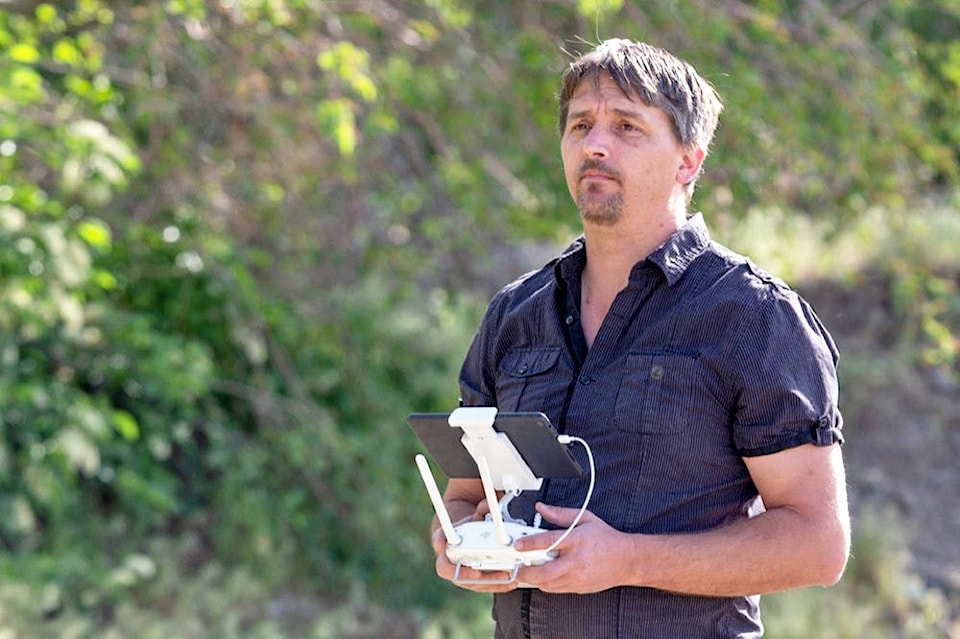
Ryan Hillaby started Firefox UAV in 2015 and has been working with drones in various ways since, doing aerial photos and video, mapping and 3D modelling.
His recent work monitoring creeks and rivers is something he is doing on his own dime for his portfolio, but he is set on making a case for drones to be used this way.
Hillaby is monitoring eight locations — Tranquille River, Jamieson Creek, Fishtrap Creek, Barriere River, Lemieux Creek and the North Thompson River at Barriere, McLure and Little Fort.
Watch some of the videos here: https://www.youtube.com/watch?v=7XNjjgoMBnc
He sets out at least a few times each month and takes off up to 400 feet in elevation around each location to see the flow of the water and what it’s doing to its banks. He also gets close to to see the water’s turbidity and flow rate.
The photos and videos he captures are then shared on his website for the public to see. At each site, he also collects meteorological and flight data and keeps meticulous logs of conditions.
Hillaby said part of this exercise is marketing — at each location, he sets up a sandwich board indicating a drone is flying nearby, partly for safety and partly for attention.
But he hopes his work will help, both in showing how creeks and rivers change during flood season and how drones can be used.
One big reason why he thinks drones are up to the task is safety. Because operators can stay well away from the water, there’s little risk of being swept away by rushing waters or falling down eroding banks.
“You’re taking the human part of it out, in a way. You don’t have to go down to the river in a dangerous location and try to figure out how fast the water is going, for example,” he said.
Hillaby said the provincial government is considering the use of drones in other jurisdictions. His goal is that his work will show they can be useful across the province — and lead to him eventually landing a contract with the province or other levels of government.
“We want to show people that what we do with UAVs (unmanned aerial vehicles) can work for their business and for local and regional governments,” he said.
Hillaby hopes the provincial government will take notice of the data he has collected, but he also wants the public to see it to understand what might be coming their way this flood season.