The District of Clearwater has put out a notice saying high water and flooding issues may cause a roadblock to be posted on Clearwater Valley Road at the intersection of Greer Road.
Clearwater Valley Road is still able to accommodate motorists as residents who live in the area and BC Parks staff will be allowed access, though the road will be closed to visitors beyond Greer Road.
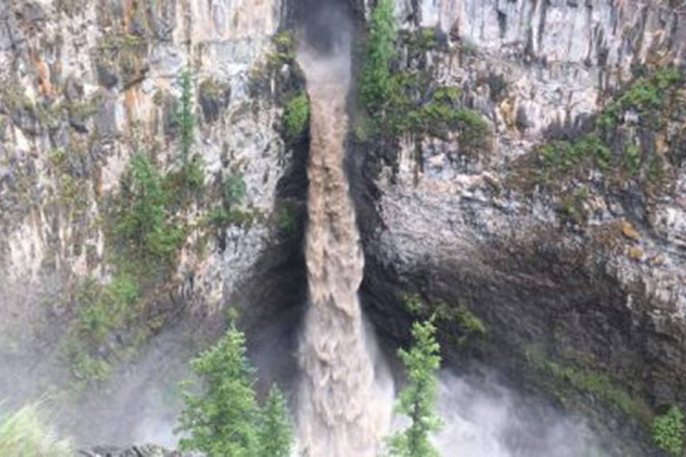
One Clearwater resident reported he was trying to drive to Helmcken Falls this morning (July 2) and made it as far as Fage Creek when he was turned around by workers who were trying to keep a culvert from being washed out.
Clearwater River Road has been closed to the public due to flood damage.
In a social media post, Mayor Merlin Blackwell said it’s predicted that water levels should peak on July 4 and the Clearwater River could rise to levels not seen since 1972. He noted the water levels on the North Thompson River will rise quite high as well.
“The real issue is that the snowpack was higher than normal locally last winter, and that the cold weather has delayed the melt by at least 2 weeks. The heavy rain will act as a multiplier for that melt,” Blackwell said in the post.
“Ironically the Clearwater Valley Road has received at least six culvert or bridge upgrades due to washout in the last 25 years, so that is sort of good news.”
Blackwell suggested residents move any items they may have near either river to higher ground, though there should still be plenty of time before the river rises to more concerning levels.
newsroom@clearwatertimes.com
Like us on Facebook and follow us on Twitter