Despite a warmer than usual winter that has produced a dearth of snow on the valley bottom, the snowpack levels in the North and South Thompson basins are at and above average levels.
Data from the province’s River Forecast Centre’s snow survey an water supply bulletin shows the North Thompson snowpack at 109 per cent of normal depth, with the South Thompson snowpack at 99 per cent of normal depth.
The survey noted fall and early winter weather had been variable across the province. October featured near normal (-0.5 C to 0.5 C) temperatures across most of the province, with areas in south-west B.C. reaching between 1 C and 2 C above normal temperatures. Except for the Okanagan and Southern Interior, the province generally experienced below normal precipitation in October.
In early November, a series of storms impacted southwest B.C. with heavy rain. The second half of the month featured more stable weather with less precipitation. Total monthly precipitation was generally near normal across the province. Temperatures were generally above normal (by one two degrees) for southern B.C., and well above normal (by one to five degrees) in central and northern B.C.
The survey noted significant precipitation arrived in mid-December, with southern B.C. receiving between 120 per cent and 160 per cent of normal rainfall amounts. Temperatures remained well above normal through December, with more modest temperature anomalies in southwest B.C. (+0.5 C to +1.5 C) and more significant anomalies in the B.C. Interior (+2C to +5 C).
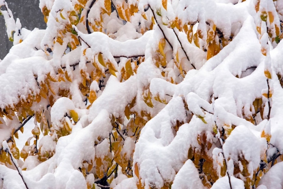
All that rain at lower levels led to snow at higher levels.
As of Jan. 1, snow basin indices range from a low of 61 per cent of normal in the Stikine to a high of 109 per cent of normal in the North Thompson, Upper Fraser West and Upper Fraser East.
Generally, the survey noted, the province has near-normal snowpack, with the average of all snow measurements across the province at 96 per cent of normal readings. Below-normal snowpack (60 to 80 per cent of normal) has been recorded in the Stikine, Nicola, and Liard regions, while near-normal snowpacks (80 to 110 per cent of normal) are present throughout the rest of the province.
The survey said early-season snowpack was slow to develop this year, with near record-low snowpack recorded at automated snow weather stations on Dec. 1. Rapid snow accumulation has since occurred.
LOOKING AHEAD
The Climate Prediction Centre at the U.S. National Weather Service has issued an El Niño watch and is forecasting a high likelihood of El Niño developing through this winter and continuing into the spring.
Typically, El Niño is linked to warmer winters across British Columbia. During El Niño, snowpacks tend to be lower than normal; however, there has been a large range of variability in the snowpack in B.C. during El Niño winters in the past (for example, 2007 was following an El Niño winter and had significant snowpack across the province).
Warm sea surface temperature anomalies have also persisted in the Pacific Ocean off the B.C./Alaska coast, with a general weakening in the anomaly since mid- November. Warm temperature anomalies in the Pacific often have a similar or enhancing effect when they occur in phase with El Niño, as was the case in 2014-2015 and 2015-2016.
Seasonal weather forecasts from Environment and Climate Change Canada are indicating an increased likelihood of warmer than normal temperatures through the winter period.
By early January, nearly half of the annual B.C. snowpack has typically accumulated. At this early stage in the season, snow accumulation is looking typical across the province. With three or more months left for snow accumulation, seasonal snowpacks can still change significantly.
The River Forecast Centre will update seasonal flood risk forecast in its next bulletin, scheduled for release on Feb. 8.